Interchange of the Week
Monday, 1 September 2003
Monday, 1 September 2003
Robert Moses State Parkway, Niagara Falls
Rainbow Bridge
 |
|
|
|
|
|
|
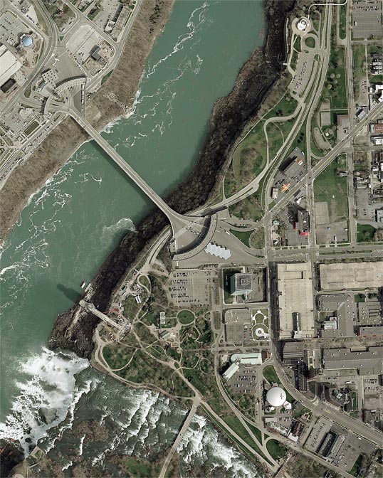
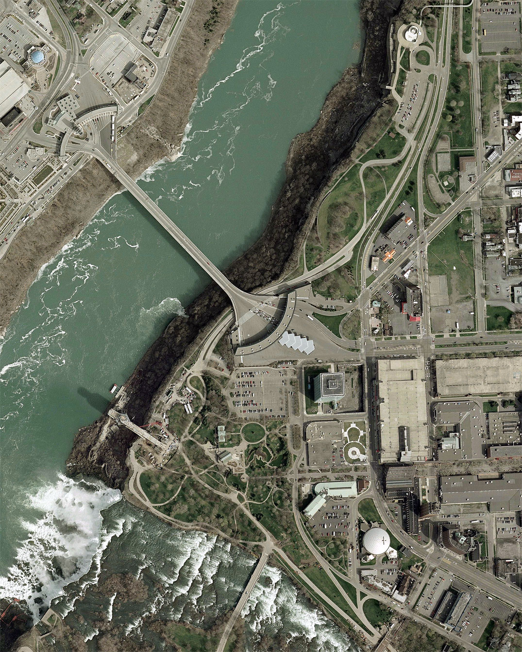
Orientation: The Niagara River separates the twin cities of
Niagara Falls in New York (right) and Ontario, Canada (upper left),
with the Rainbow Bridge joining the two nations. At bottom left is the
American Falls of the Niagara, with Goat Island just visible in the
corner. Niagara
Reservation State Park, the nation's oldest public reservation for
recreational use, occupies Prospect Point by the falls, along
with the surrounding islands.
The Rainbow Bridge (reference route 955A) is
fed on the New York side by NY 104 (Main
Street, upper right), NY 384 (Rainbow Boulevard, lower right) and the
Niagara Street arterial (reference route 951A,
right center). US 62 southbound begins on Ferry Avenue, off NY 104 at
top right; US 62 northbound ends one block to the north on Walnut
Avenue. The Robert Moses State Parkway comes in at top, feeding into
Rainbow Boulevard, and at bottom, feeding into local streets by the
state park. In Canada, River Road follows the rim of the gorge, passing
beneath the Rainbow bridge, while Falls Avenue runs one block inland.
The bridge itself feeds into King's Highway 420 at upper left.
Robert Moses State Parkway: When originally built, the parkway was continuous, passing directly by the falls through the area now taken up by pedestrian paths. It was closed in the early 1980s to allow for more extensive, accessible and attractive state park facilities. (In this same spirit, a number of initiatives exist today to remove more of the parkway farther downriver. Already it is being converted into a two-lane roadway with a parallel hike-bike path.) A section of the former parkway is visible in its original form, passing beneath the Rainbow Bridge. This roadway is used today by official park vehicles only. Now, the parkway to and from the north connects directly with North and South Rainbow Boulevard (NY 384), two streets one block parallel, which join at bottom right. Where the parkway meets NY 384, at the intersection with NY 104, there are vestiges of an old trumpet interchange visible here. At bottom, the parkway appears again, as a westbound-only highway for state park area traffic. Shown here is the three-way split for (right to left in the direction of travel) Buffalo Avenue, Old Main Street, and Prospect Street, the last giving access to the state park parking area.
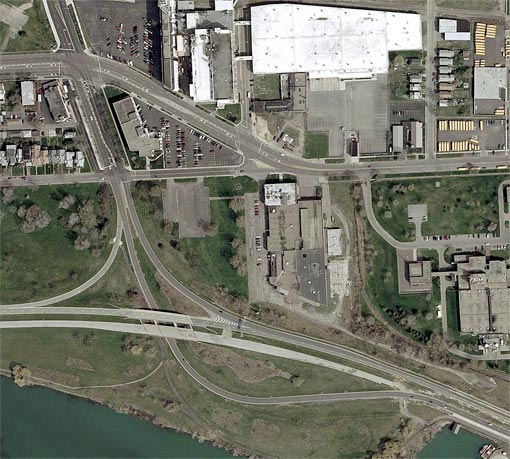
Farther east, as shown in this overview photo (right), there is
westbound
access to and from 4th Street. Note that the former eastbound roadway
is still fully intact through this area, but is not open to general
traffic. Eastbound access is not provided until the Quay Street
interchange (see closeup). Quay Street is
a divided arterial highway (reference route 952B) connecting to
Rainbow Boulevard (NY 384) and the Niagara Street arterial. The
interchange at Quay Street is an incomplete trumpet, missing of course
the eastbound offramp.
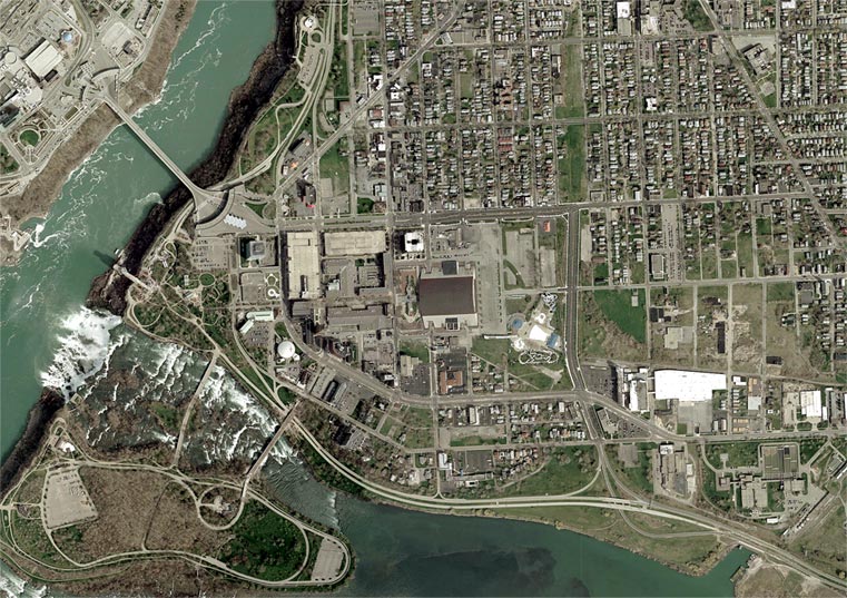
Of final note are the Goat Island bridges. The western bridge serves only foot traffic and park vehicles, while the eastern bridge typically serves general motor traffic, although it was closed to traffic at the time of this photo.